Professional LBS Services
A highly capable, cross-platform map browser and geographic information system (GIS) platform
Professional LBS Services
QubiMap offers advanced geographic planning and design tools for customers with a precise, professional, and efficient platform of public location sharing.

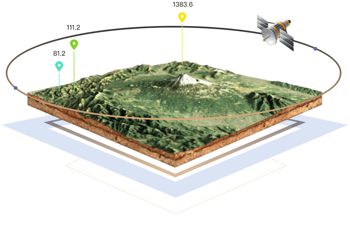
Powerful 3D Engine
Global 30-Meter Precision Elevation Data
QubiMap integrates elevation data with satellite imagery to automatically generate 3D models, and delivers realistic global topography through an optimized 3D rendering engine.
QubiMap Cloud Service (SAAS)
One-Stop Enterprise Solution
QubiMap eliminates the need for server deployment or software installation. You can use the cloud console to visualize and manage your data efficiently.

QubiMap Applications across Industries
Explore optimal solutions for various industries.

Communications
Communications

Electric Power
Electric Power

Transportation
Transportation

Exploration & Travel
Exploration & Travel

Security
Security
Key Features
Advanced geographic planning and visualization technologies.

BIM & 3D Real Scene
Supports large and ultra-large oblique photography and BIM model data, enabling the smooth construction of city-scale component-level real-scene 3D models. You can perform topology-based management on 3D data.
Enterprise Deployment
Supports centralized enterprise data management, permission control, operation audit, remote command, and multi-user collaboration. You can deploy QubiMap on intranets or private networks.
Field Survey & Map-Based Planning
Provides commonly used tools for planning and design. You can directly edit points, lines, and polygons on the map, and attach charts, photos, and videos for easy data collection in the field.
Location & Track Sharing
Allows you to record and share your routes with friends. Built-in instant messaging supports text, voice, and files, enabling the real-time communication with your friends.
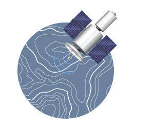
Multi-Source Maps & Elevations
Allows you to browse online maps and add custom layers, and combines satellite imagery and elevation data for automatic 3D rendering. Global elevation data such as SRTM3 and ASTER-GDEM2 is supported. Contour lines on satellite maps provide an intuitive way to understand altitude and terrain.
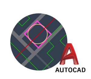
Seamless CAD Integration
Delivers seamless CAD integration for enhanced design efficiency. You can import CAD design files and overlay them on maps, or convert QubiMap objects and images into CAD base maps and vector layers for detailed design refinement in CAD.

Security, Reliability & Extensibility
Features user-friendly design to achieve secure and rapid data migration between devices and users. Offline and short-range data syncing is supported. The software is highly extensible in features by using plug-ins.
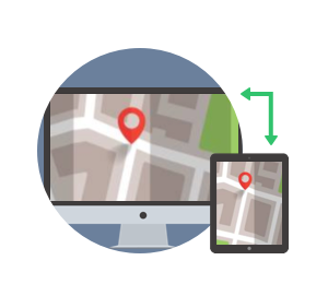
Cross-Platform Compatibility
Fully supports Windows, macOS, iOS, Android, and Linux platforms. You can sync your planning work data across PC and mobile devices, enabling efficient field-to-office workflows.
A trustworthy map browser and GIS software platform now available to global customers
